The United Nations General Assembly on Friday overwhelmingly approved a resolution that promotes the wider use of the “Equal Earth” map to more accurately depict the areas of countries and continents.
Publish dateSunday 6 September 2026 - 09:07
Story Code : 364721
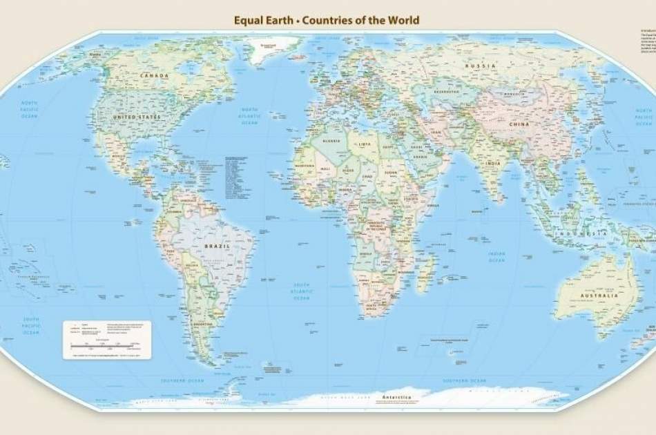
Afghan Voice Agency (AVA) - International Service: The resolution, which was proposed by the country of Togo and supported by African countries, was adopted by 164 votes in favor, 6 abstentions and only one vote against by the United States.
The “Mercator” map, designed in 1569 by the Flemish cartographer Gerardus Mercator, shows areas near the poles larger than their actual size due to the way it displays the Earth’s surface. In this map, Greenland appears to be approximately the same size as Africa, while Africa’s area is about 14 times larger. This distortion had caused the African continent to be shown on maps much smaller than its actual size for centuries.
“A just world begins with a just map,” said Robert Ducey, the foreign minister of Togo, in outlining the plan. “Maps are not just geographical tools; they shape our understanding of the world, guide education and influence collective perceptions. They are therefore never neutral.”
The United States, the only country to oppose the resolution, called it “ideologically driven” and “a distraction from the core issues of international peace.” The US representative to the UN described the resolution as “unnecessary” and said the General Assembly was debating “cartographic projects from the 16th century.”
Six countries – Estonia, Georgia, Lithuania, Moldova, Serbia and Ukraine – also abstained. However, France, which was one of the sponsors of the resolution, announced that it would abandon the use of the Mercator map.
Although the resolution is not legally binding, it calls on member states, international organizations, and educational institutions to gradually replace the Mercator map with the "Equal Earth" map in classrooms, the media, and international institutions.
avapress.net/vdcci0q1s2bqem8.-ya2.html
Top hits


